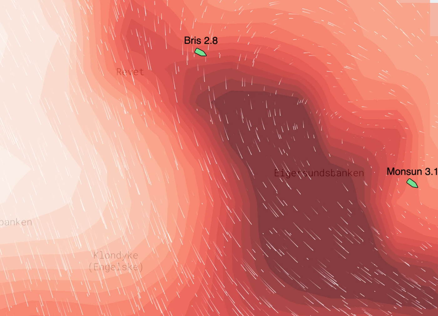
Ocean data, decoded
The weather layer built for fishing
Seabed temperatures, currents, bathymetry, and nutrient signals — the data fisheries actually use, validated at sea and updated daily.
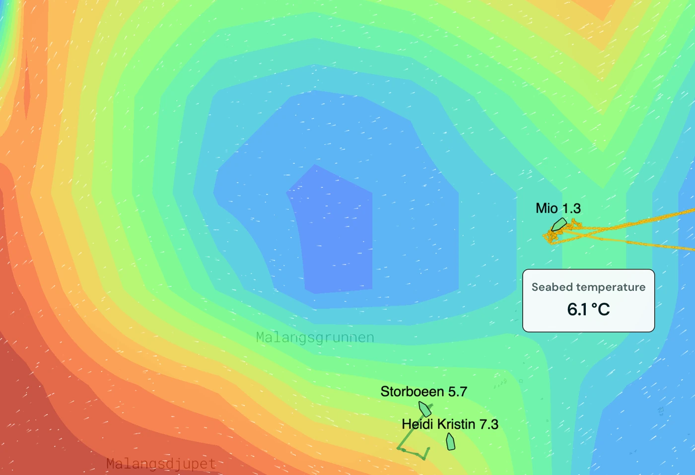
Estimated seabed temperatures
Bottom temperature forecasts at high spatial resolution
Daily updates fed from the latest ocean models
Validated against real at-sea measurements from the fleet
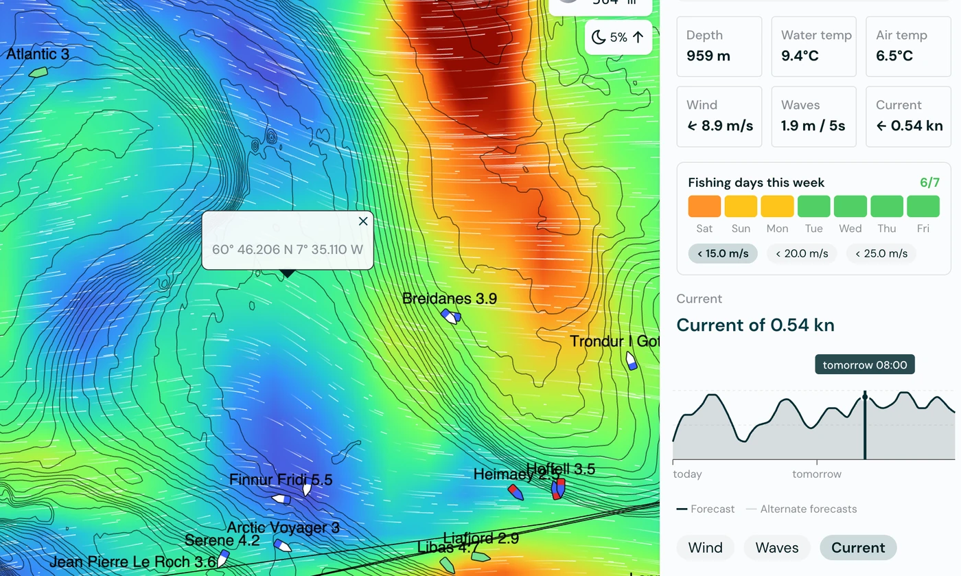
Currents and tides
Surface currents, deep currents, and tidal flows in one view. Plan drift, timing and gear placement with confidence.
Wind and gusts
The best weather model for maritime operations — hourly detail and forecasts out to 14 days. Know what's coming before you leave port.
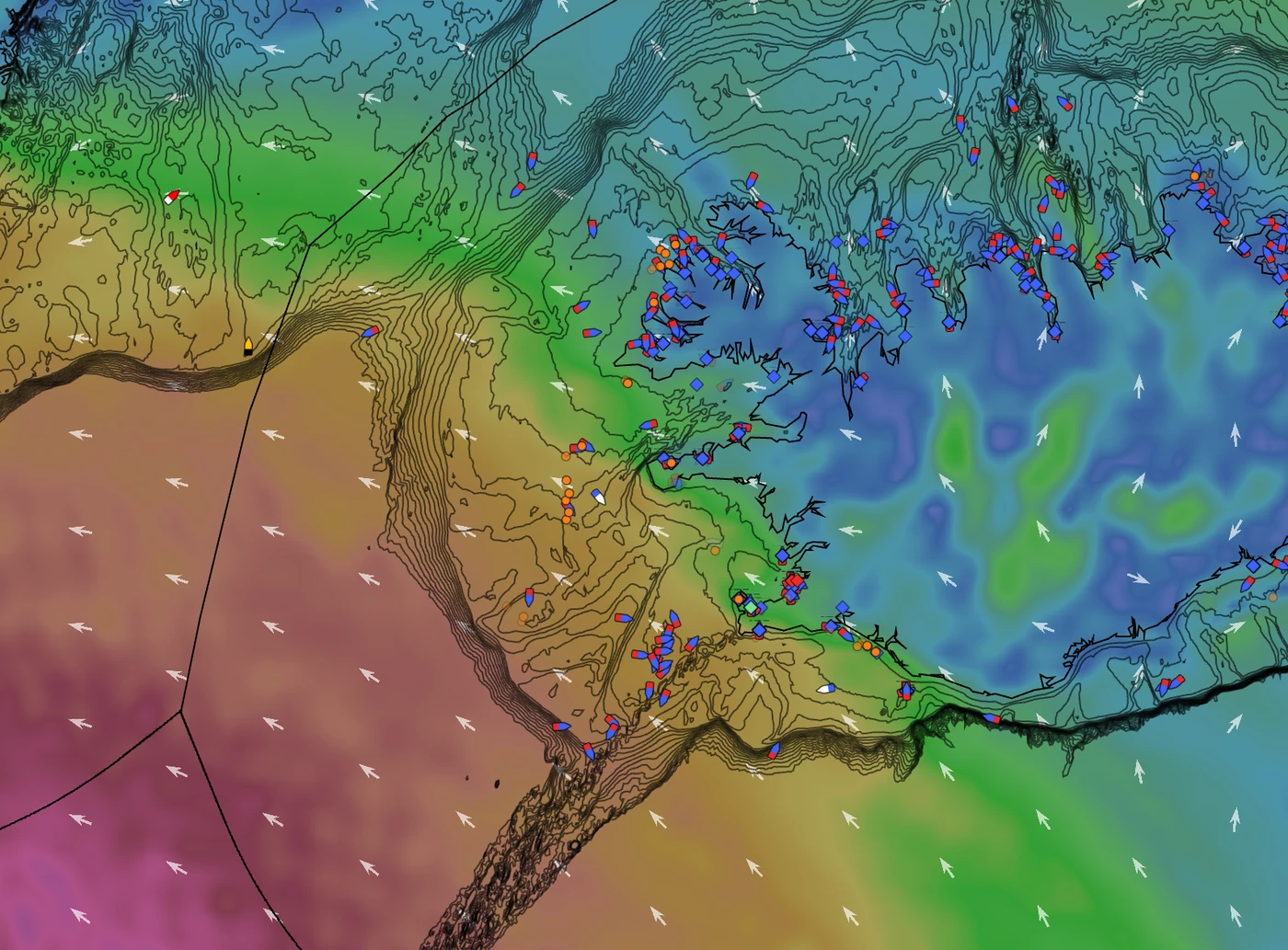
Find the food, find the fish. See ideal conditions
Zooplankton concentrations where prey aggregates
Upwellings that pull nutrients into the water column
Sea surface altimetry to spot fronts and eddies