What's inside
Everything a skipper needs, nothing they don't
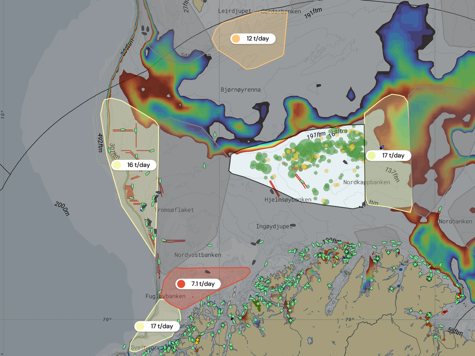
Catch history, ocean conditions, vessel activity, and forecasts — all in one map. No extra tools, no switching between apps.
Find ideal conditions in your fishing areas
See which ocean conditions correlated with your best catches
Compare seabed temperature, currents, and plankton across hauls
Get condition-matched recommendations for your next trip
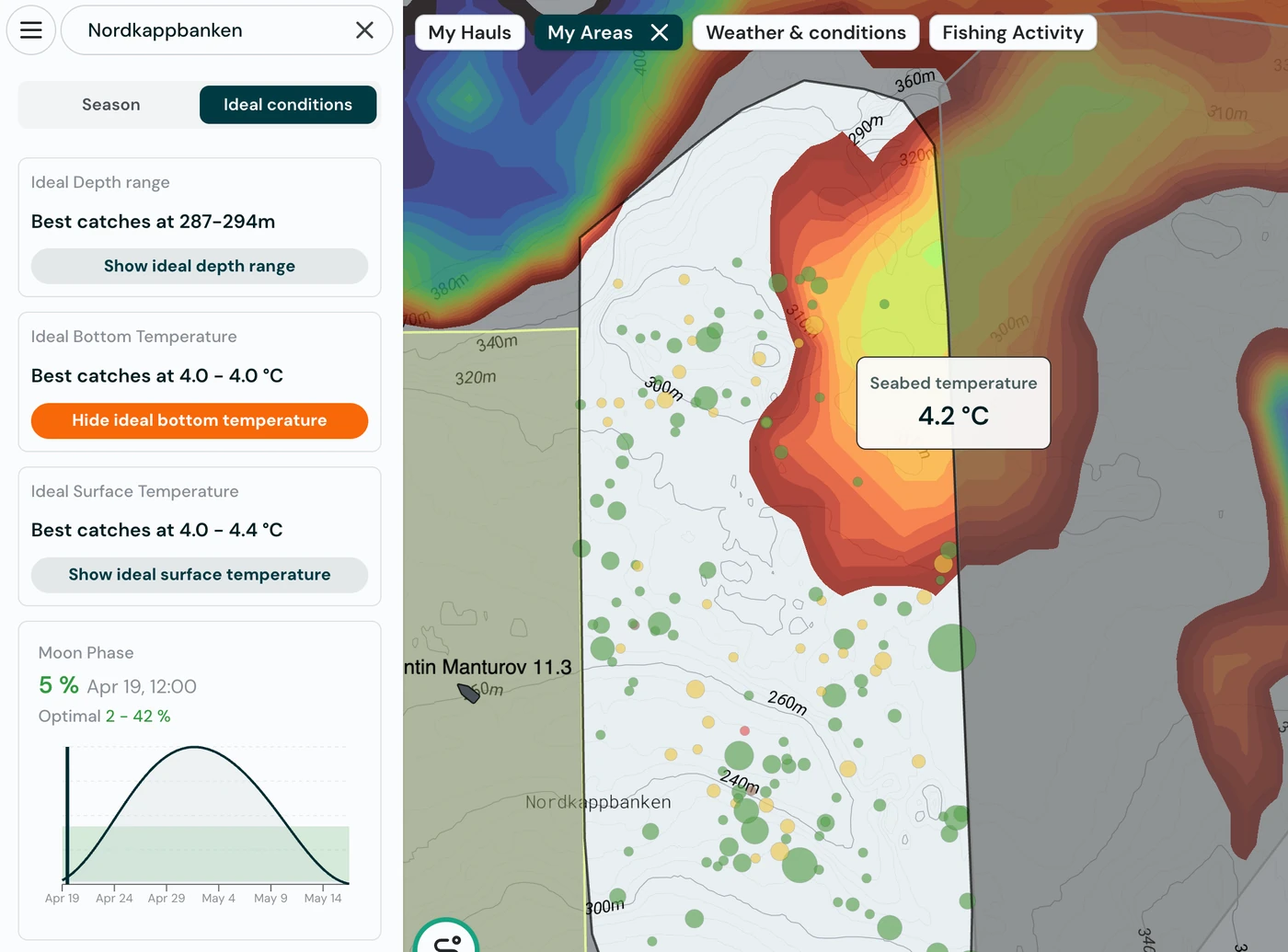
See what conditions your best hauls had
Every haul is enriched with the ocean conditions at the time — temperature, currents, plankton, wind. See what made the difference and use it to plan ahead.
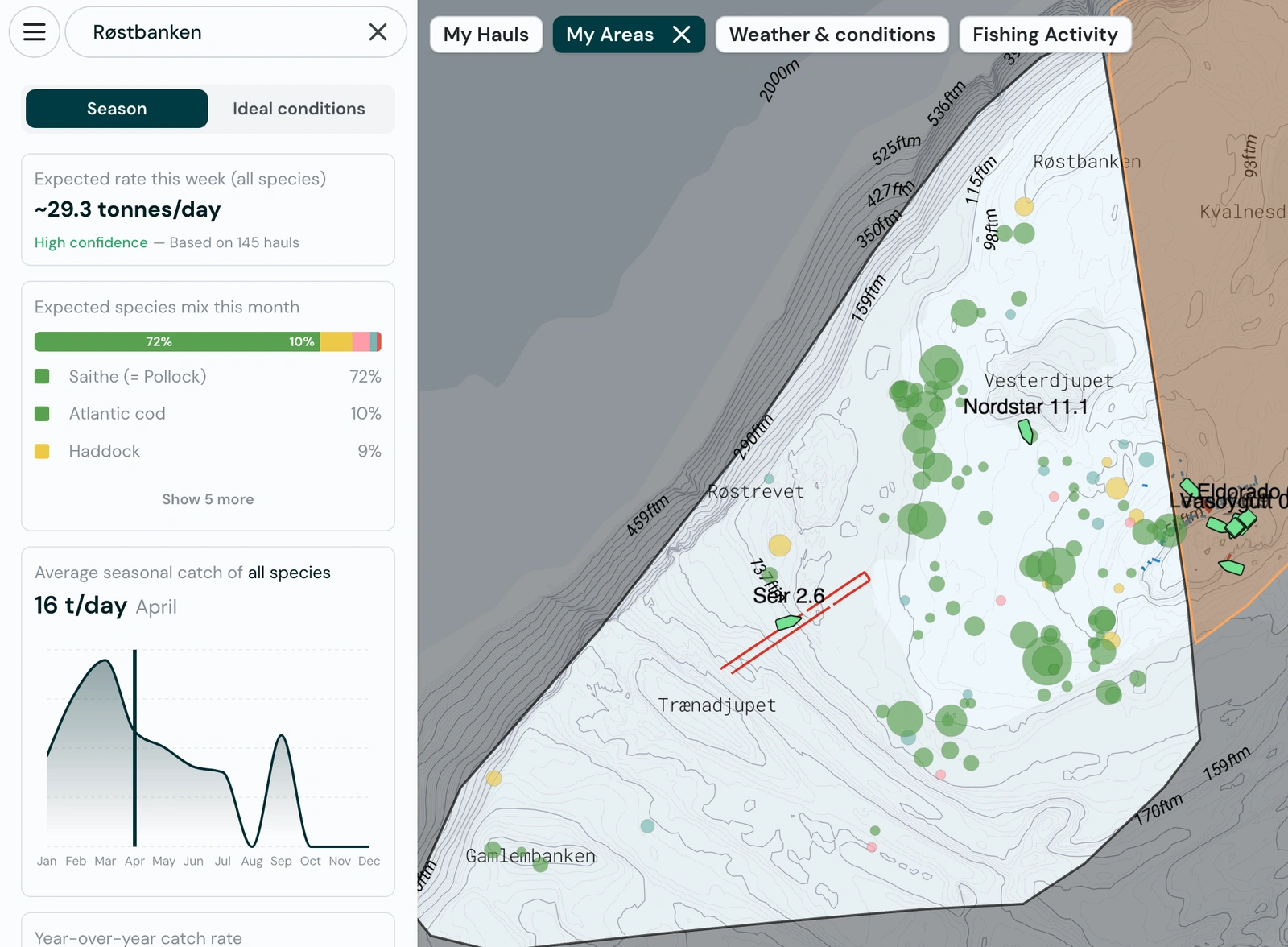
Plan your trips with catch forecasts
Catchwise learns from your catch history and current ocean conditions to forecast catch rates across your areas.
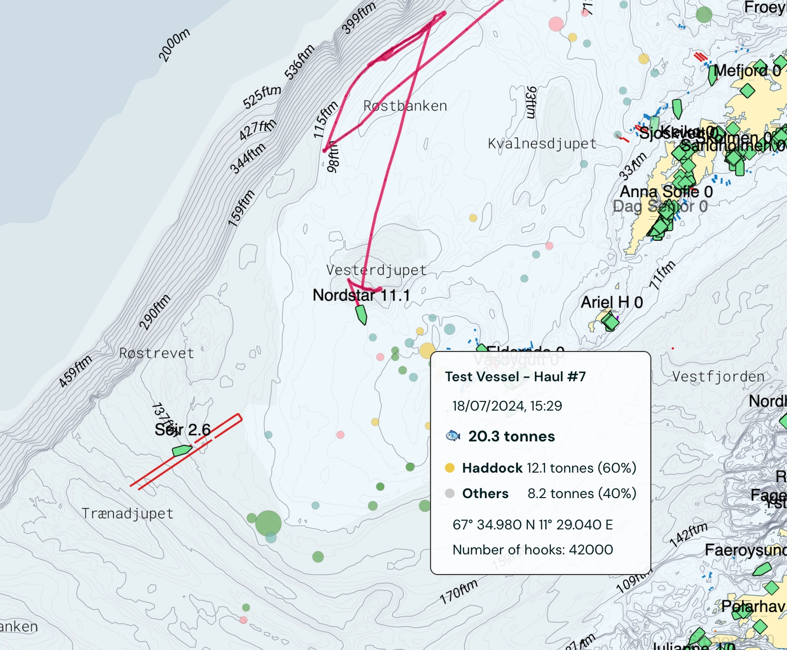
Review your hauls enriched with ocean data
Every haul matched with seabed temperature, currents and weather
Compare performance across areas and seasons
Spot patterns that logbooks alone can't reveal