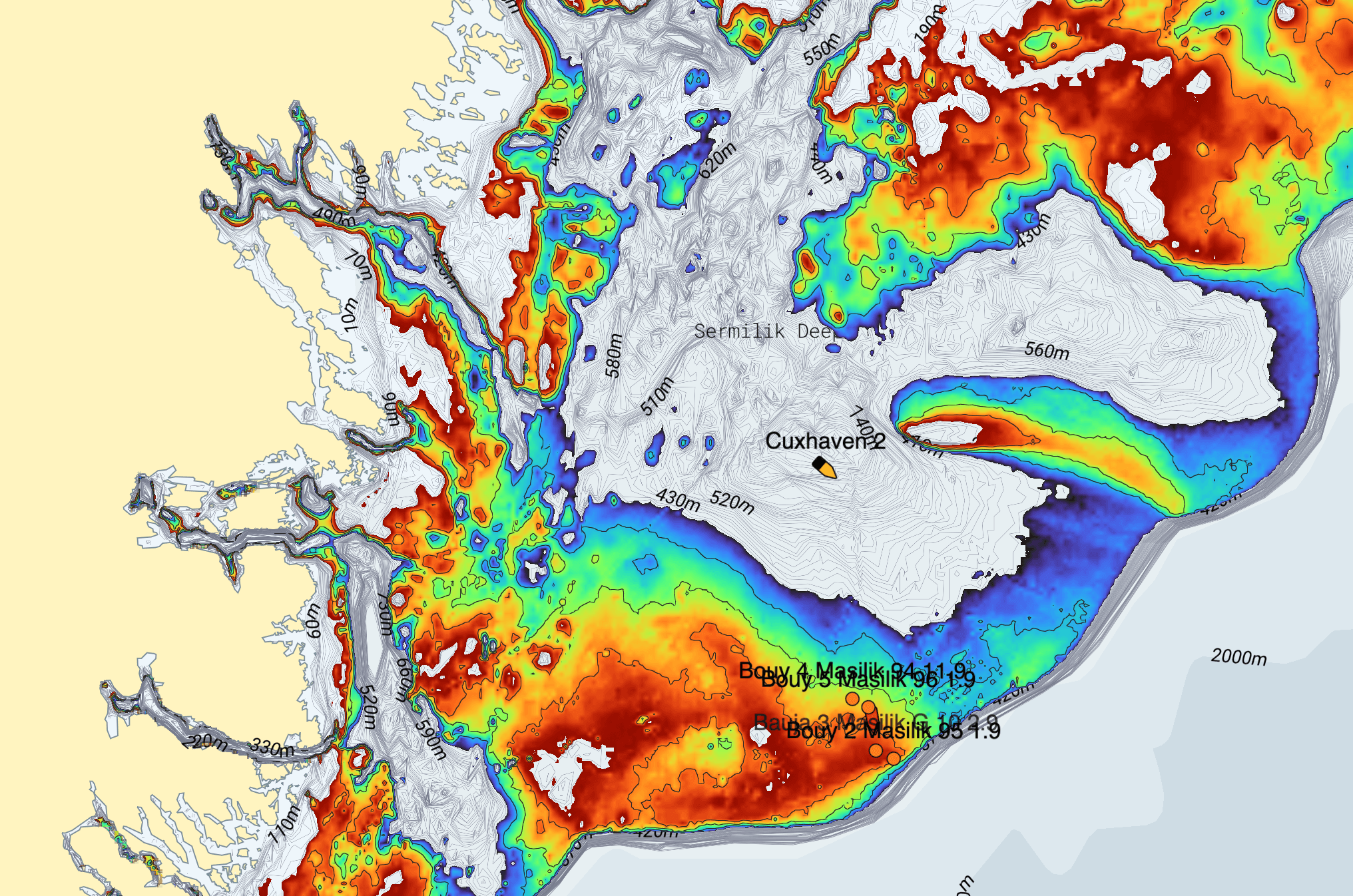
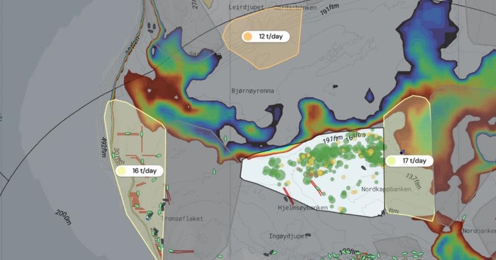
One map for planning your next trip
Catch history, satellite AIS and ocean data. Built for commercial fishing.


Used by 400+ skippers
Catch history, satellite AIS and ocean data. Built for commercial fishing.
Used by 400+ skippers


We always try to be early adopters of technology that works and makes us better. The smart heads at Catchwise are building something we're confident will become the industry standard
Åsmund Breivik
Skipper on Hermes
A great tool — it gets younger skippers up to speed much faster. Very practical to check bottom temperature in the areas you plan to fish.
Stian Skjong
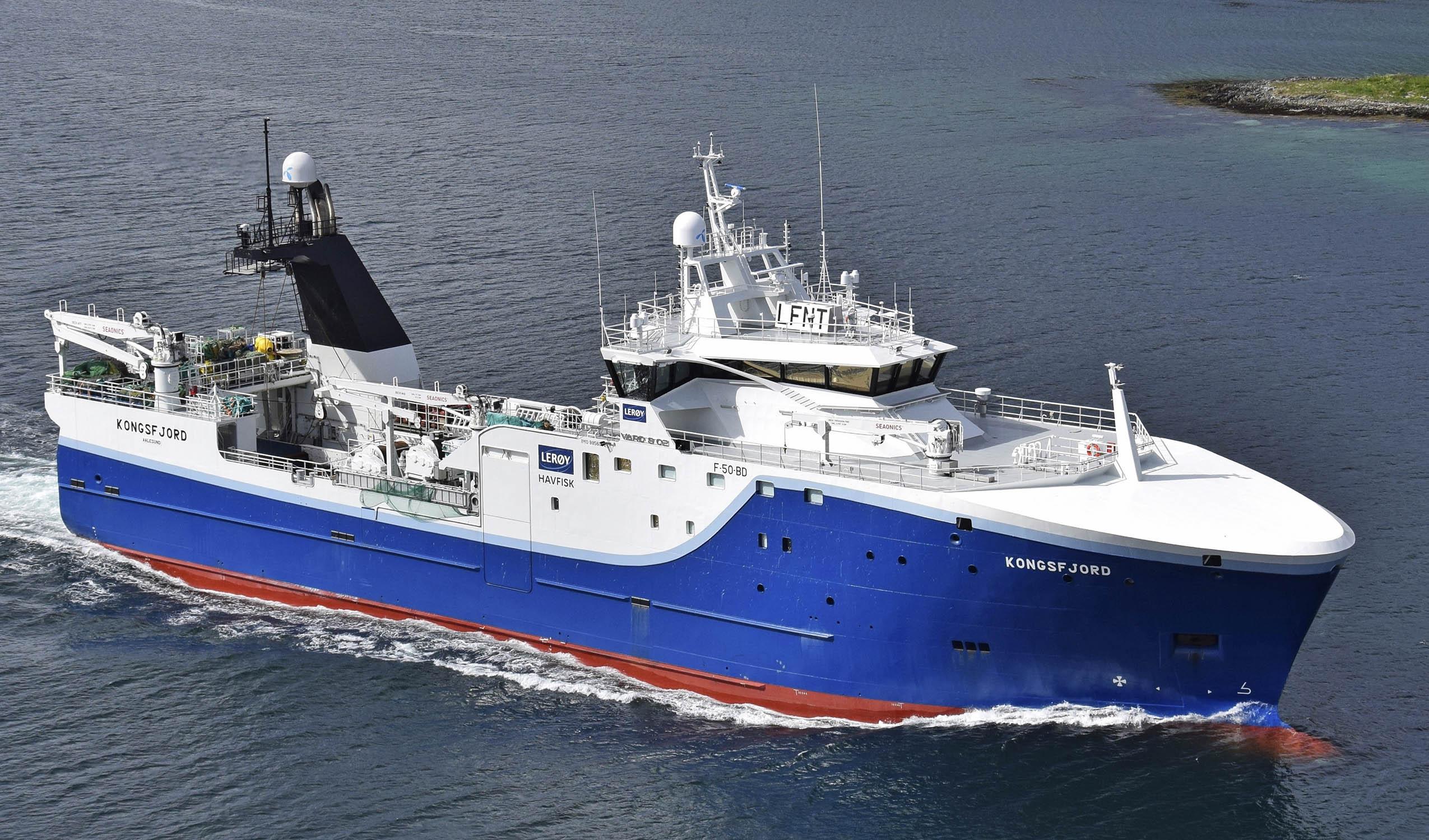
Skipper on Kongsfjord
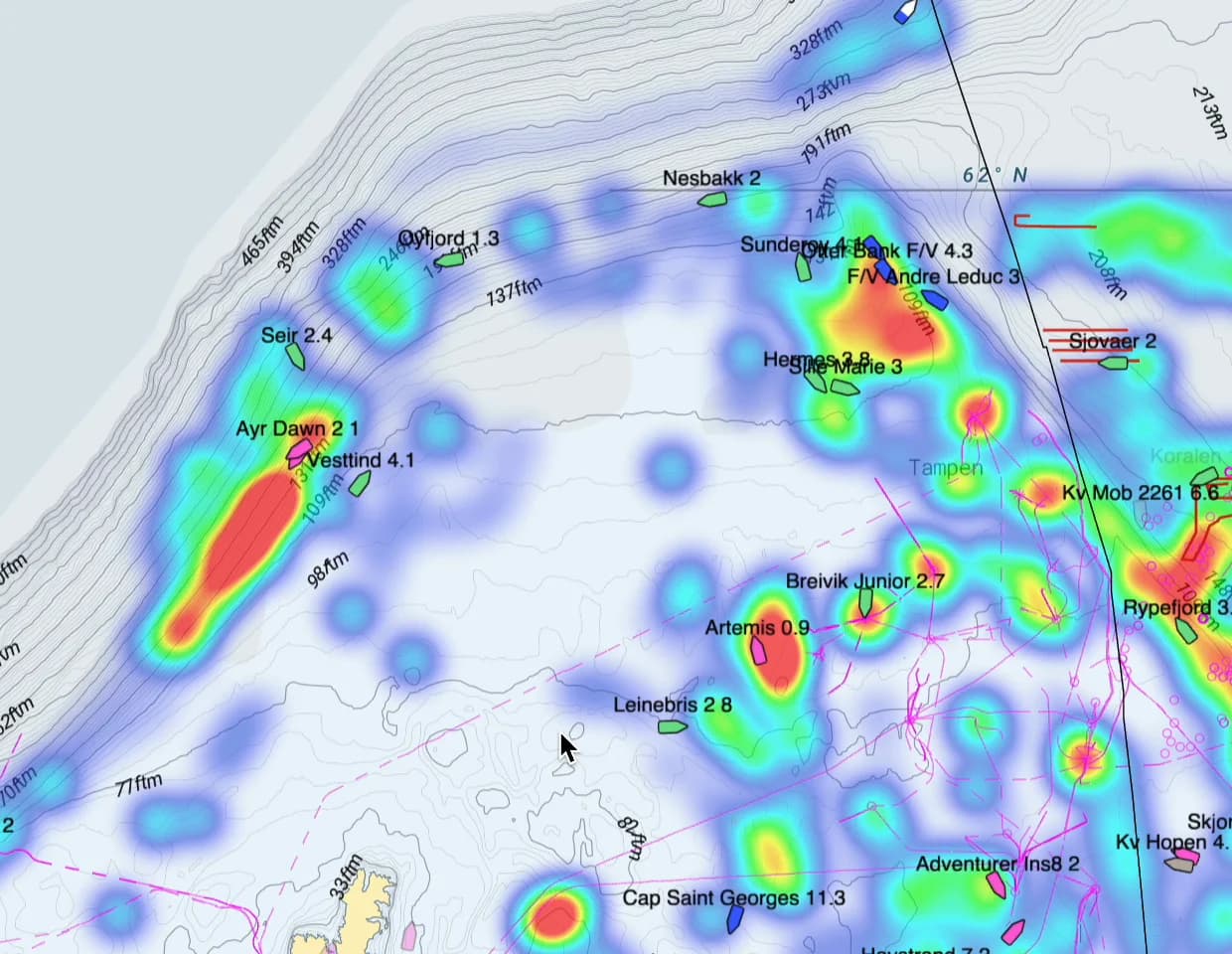
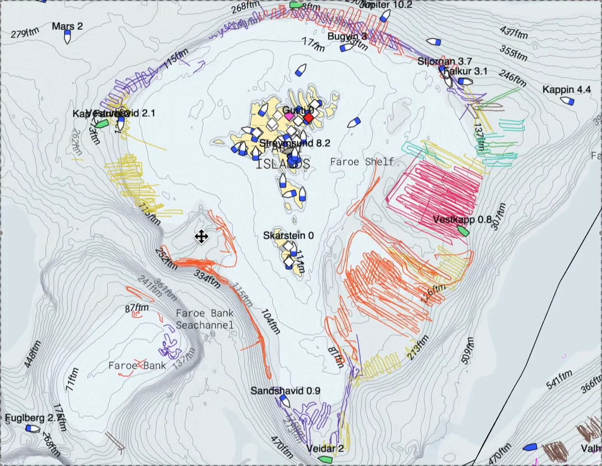
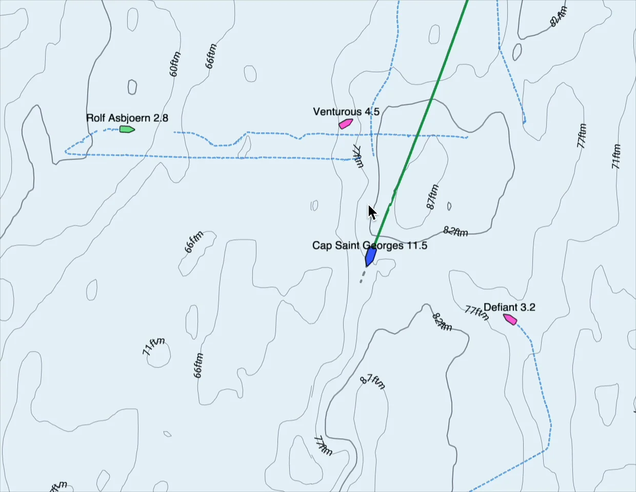
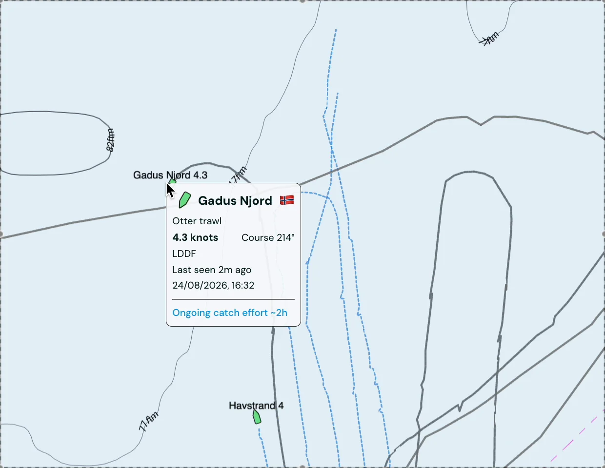
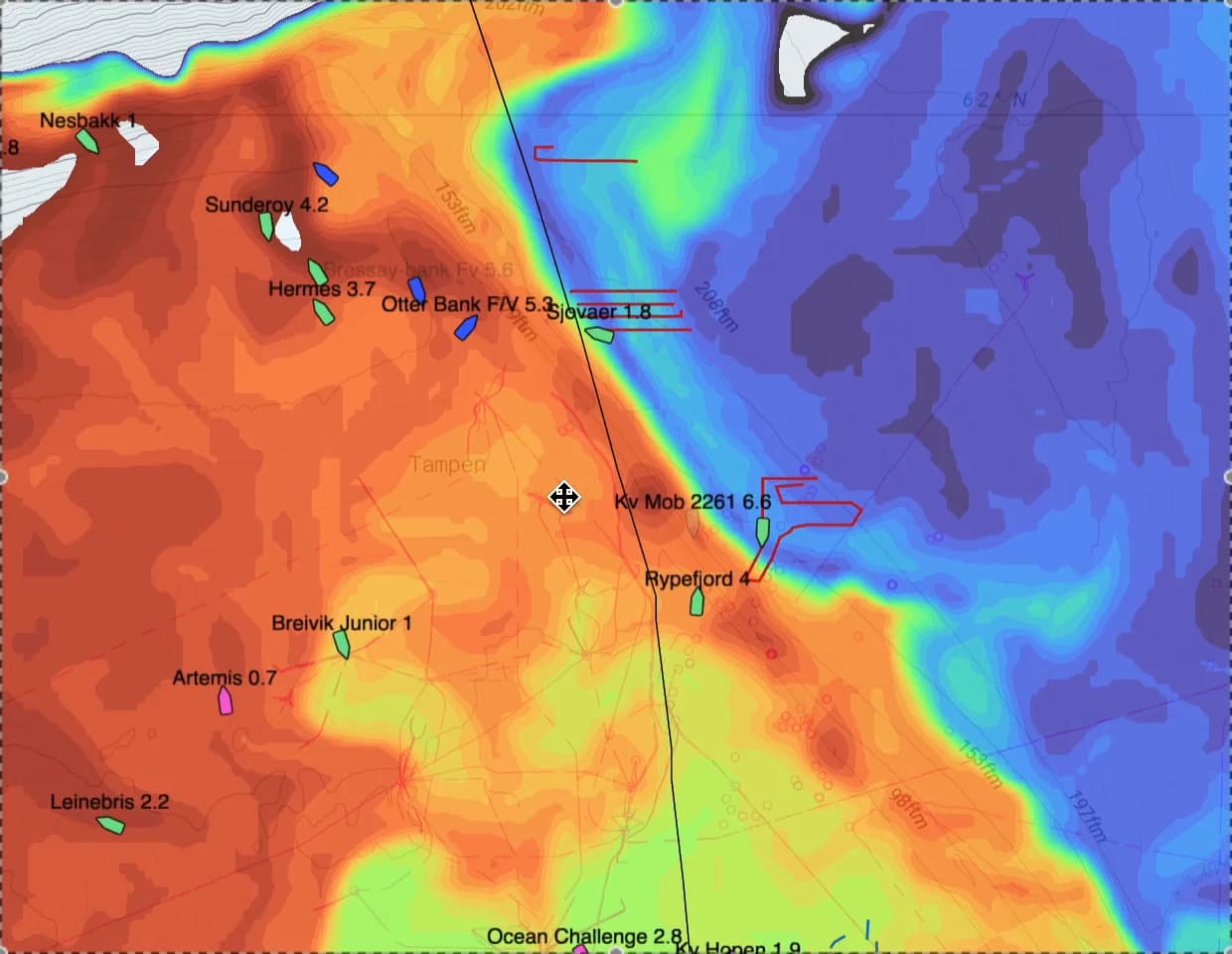
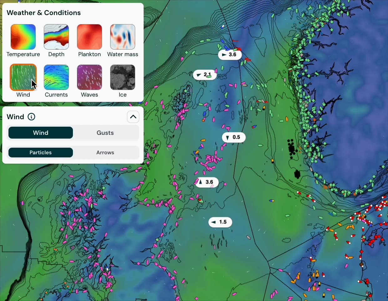
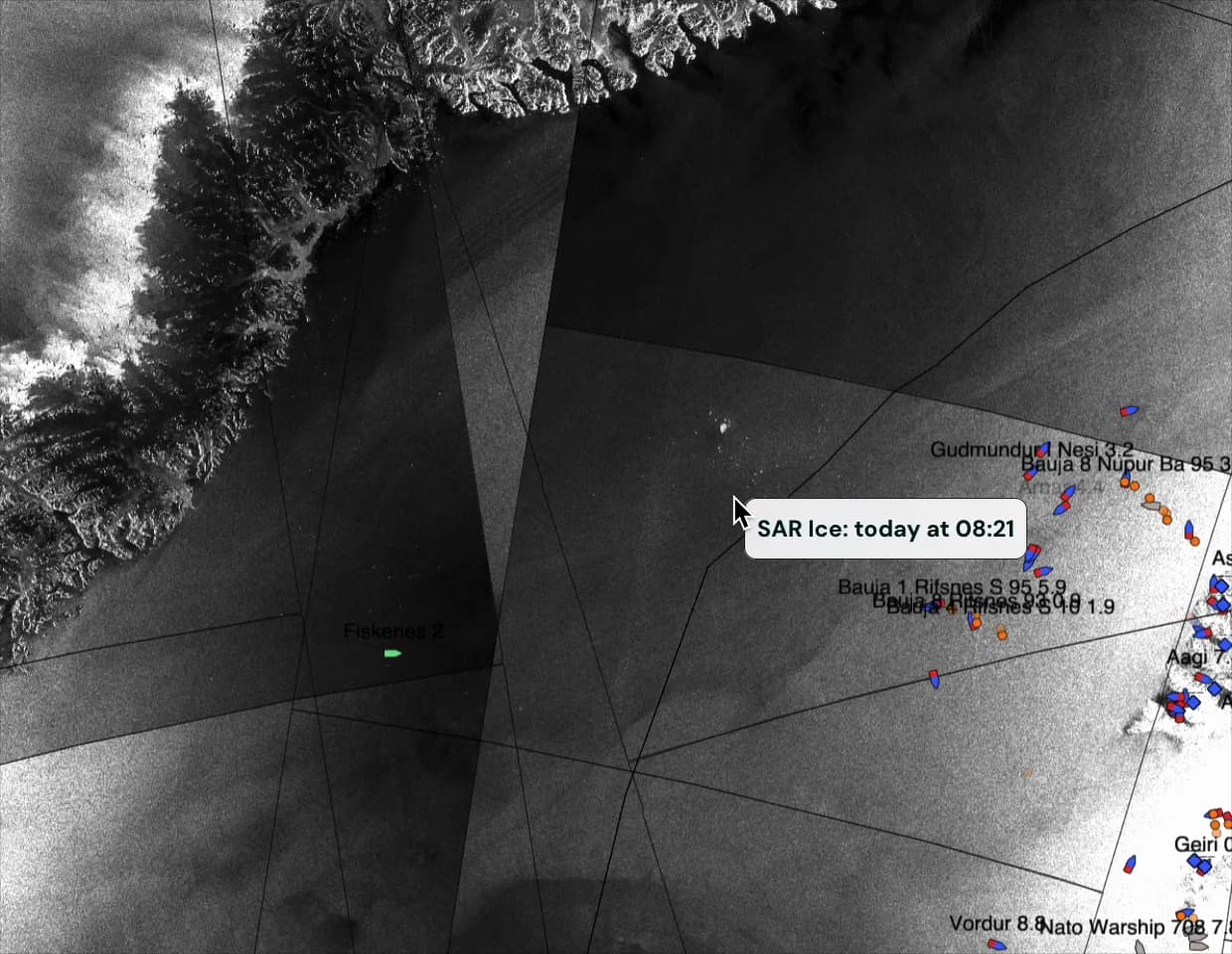
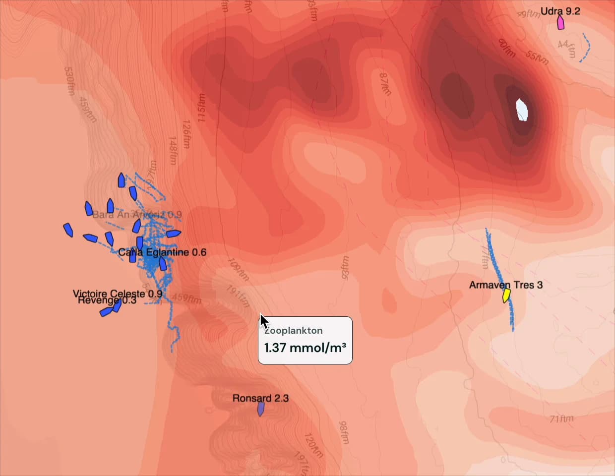
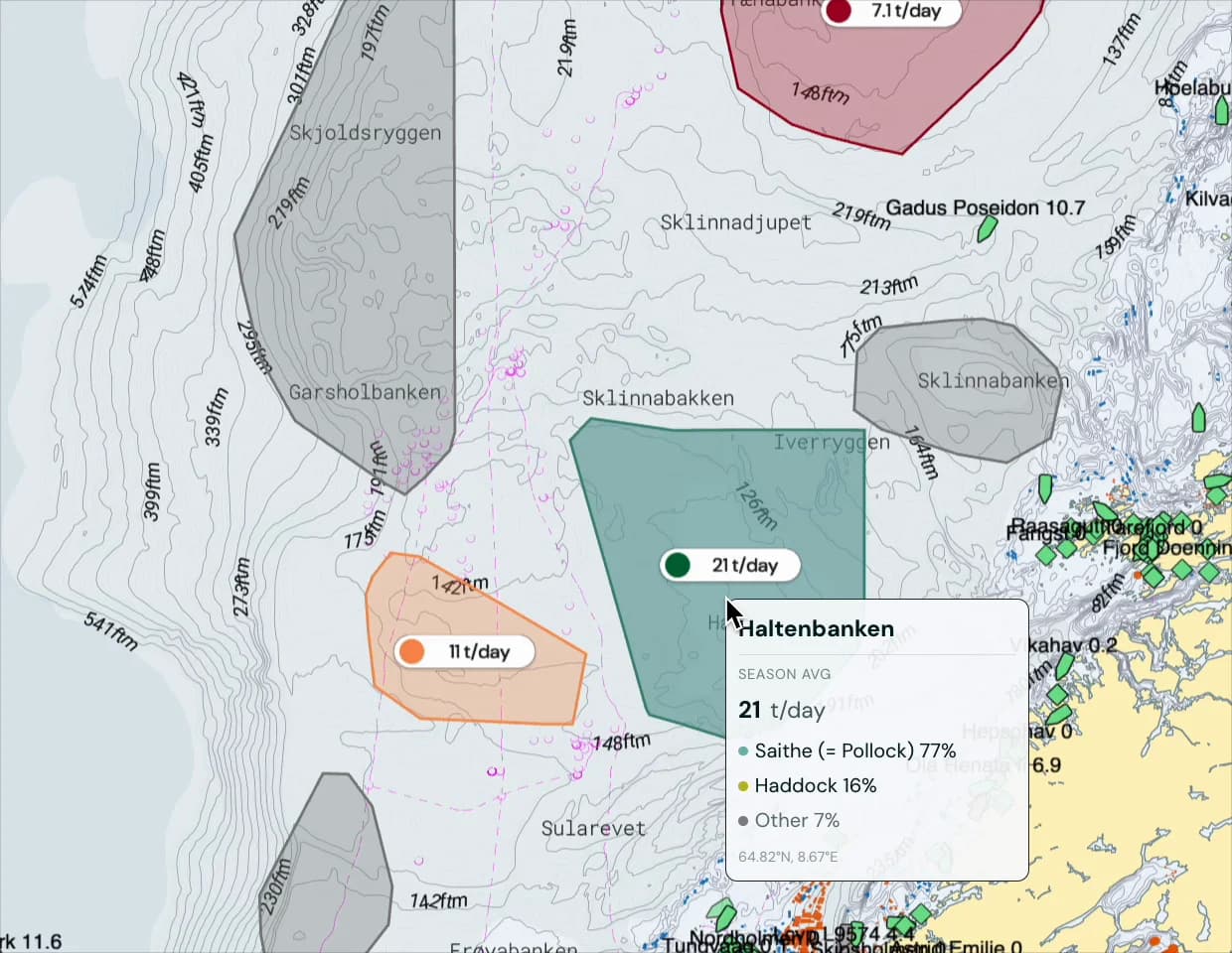
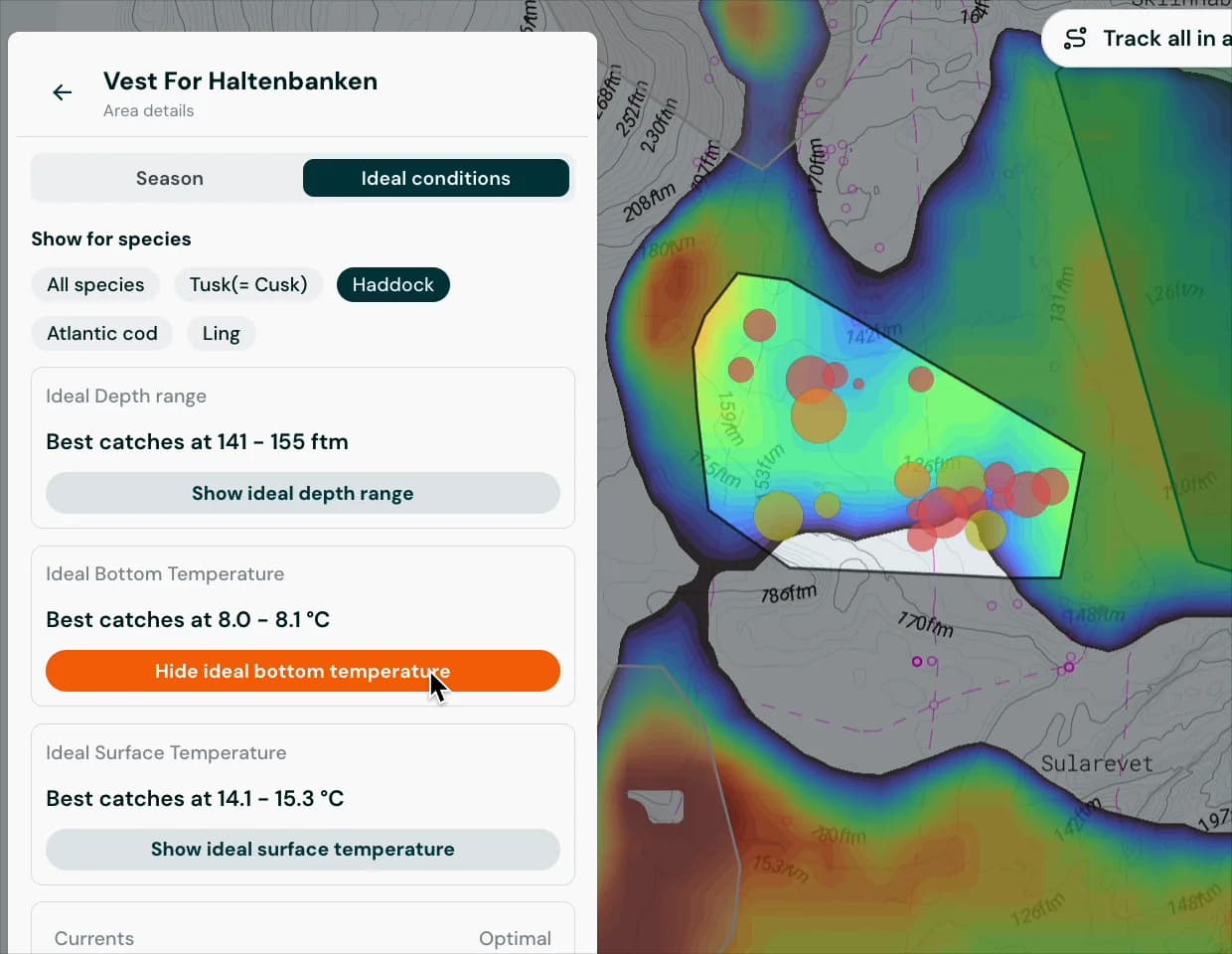
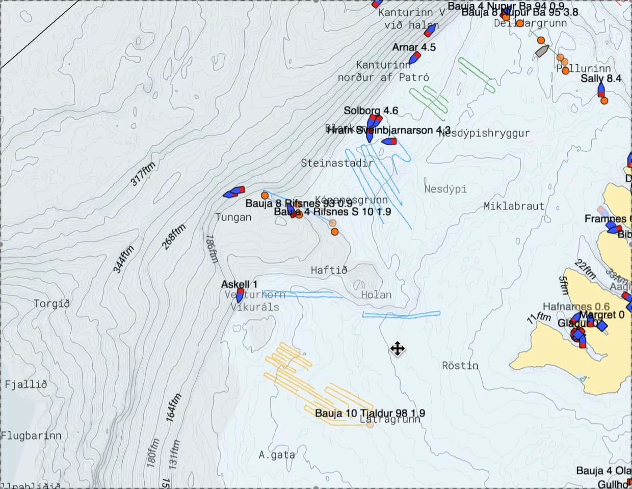
Per William Lie, skipper and co-owner of Libas, on how Catchwise fits into his trip planning.
Case study · First 2 years with Catchwise
Before-and-after analysis across pelagic, trawl and longline fisheries.
+10%
Catchwise customers improved by +10 percentage points on average relative to comparable peers — same fishery, same season.
10/10 - Intuitive, innovative and practical. Easy to practice for all generations.
Kyrre Flemming Nilsen
Manager of Skjongholm
We wanted to be involved from the very beginning, as this is an opportunity to create something completely unique. With Catchwise, we connect experience and technology in a way that can change how we work with data and decisions for increased profitability and environmental impact
Jan Roger Lerbukt
Ship Owner @ Hermes and Leader of the Norwegian Fishermen's Association
These numbers don't show that Catchwise alone creates the difference — fishing is affected by weather, quotas and the skippers' own decisions. But the pattern is consistent with feedback we receive.
What the papers say about Catchwise
Start a 14-day free trial and see if using catch, AIS and ocean data helps your next trip – no analyst needed.