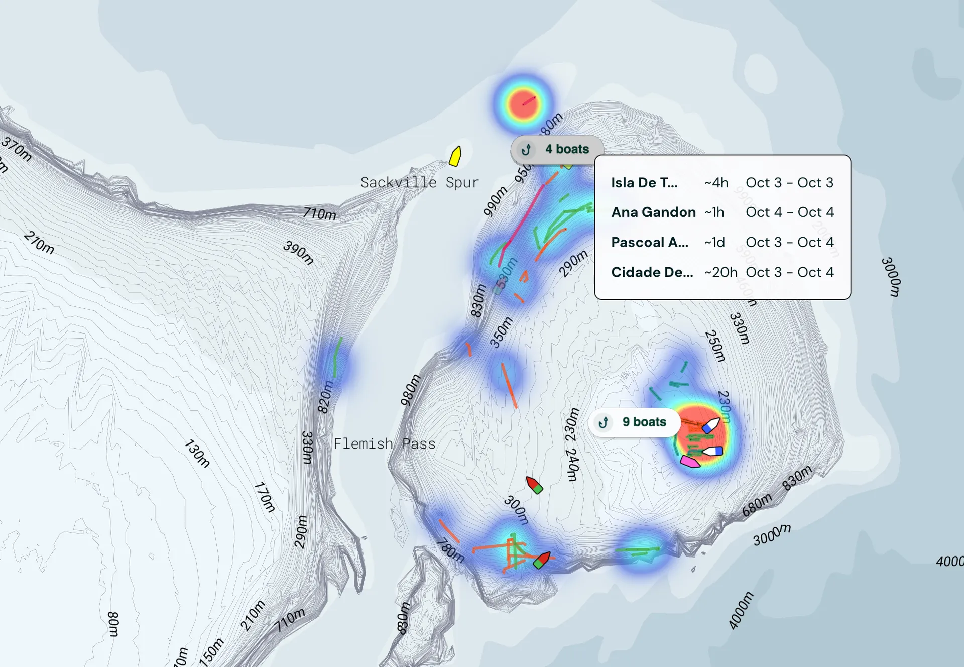
Built for fishing
A complete view of the global fishing fleet
Global satellite coverage, high-frequency updates, and vessel profiles built for fishing — not generic shipping. Everything you need to see what's happening on the water.
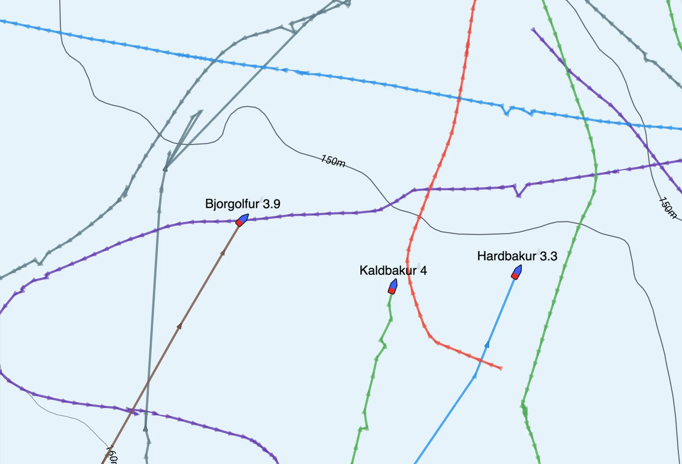
Realtime tracking and tracklines
Live vessel positions, refreshed continuously
Historical tracklines to study fishing patterns
Filter by vessel type, gear or activity
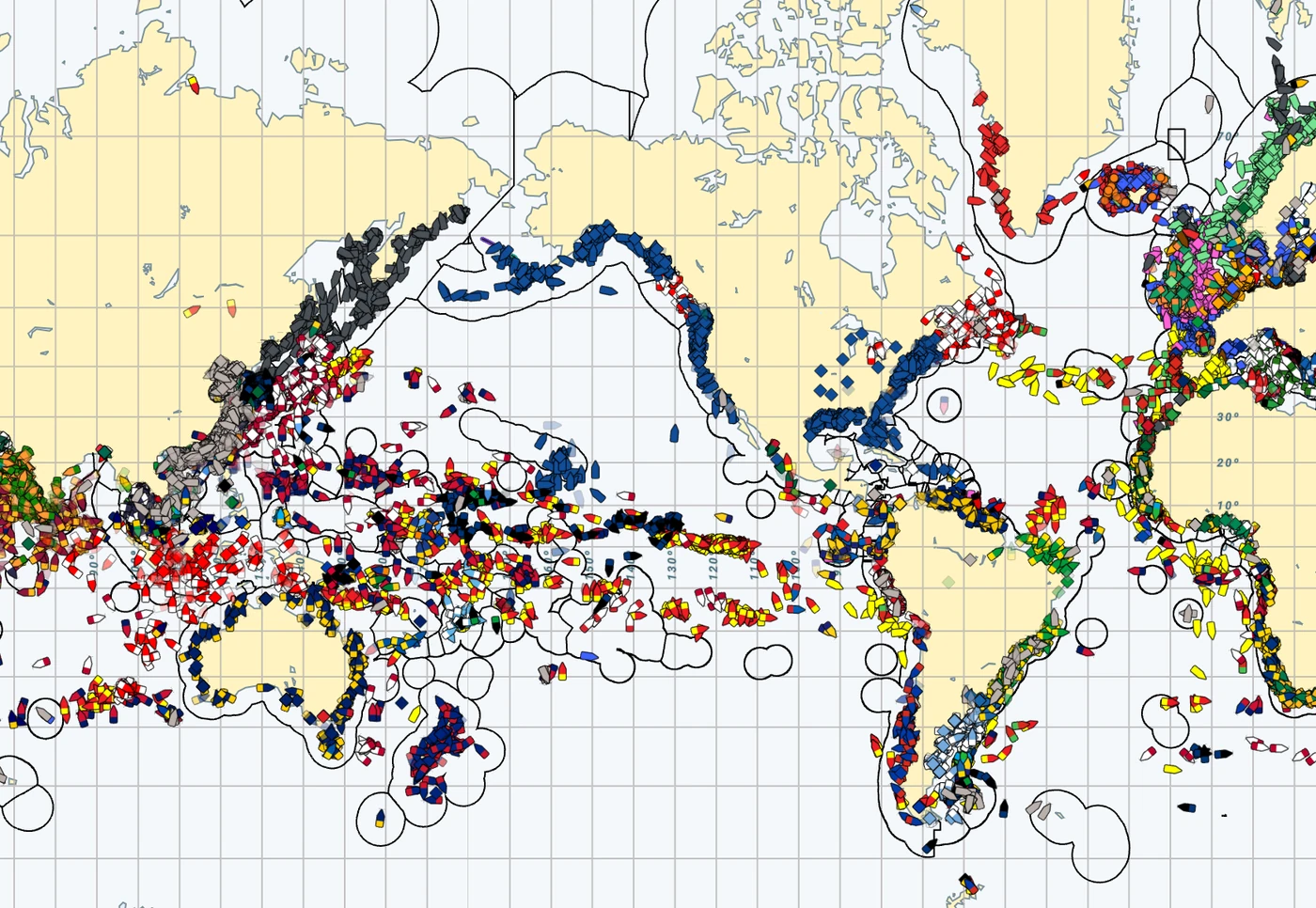
Premium coverage, high update frequency
Thousands of satellites deliver vessel positions with the coverage and refresh rate the fishing fleet depends on.
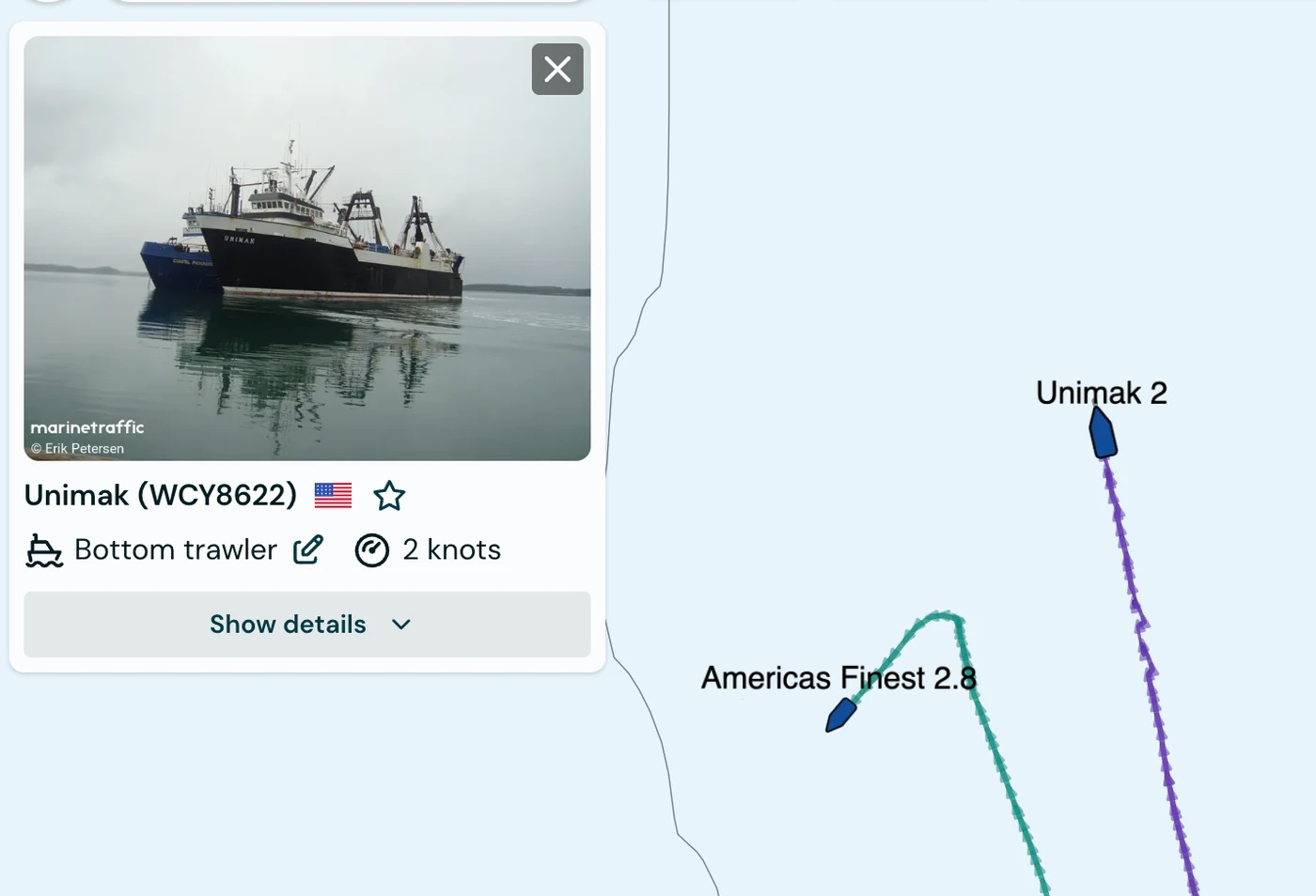
A vessel database built for fishing
Rich profiles on every fishing vessel worldwide — type, gear, flag and history. See every fishing vessel on the water, in one place.
Never miss a fishing opportunity again
Premium AIS and tracking from multiple satellite networks
See hotspots where vessels have fished extensively.
See where good fishing has occurred in the past.