From physical logbooks to catch history in a map
“All my years of fishing in one easy to use screen instead of searching back all my years of diaries.” — Whitefish skipper, PeterheadFor many skippers, years of valuable fishing knowledge are stored in physical diaries, logbooks and memory. Catchwise helps bring that history into the map.
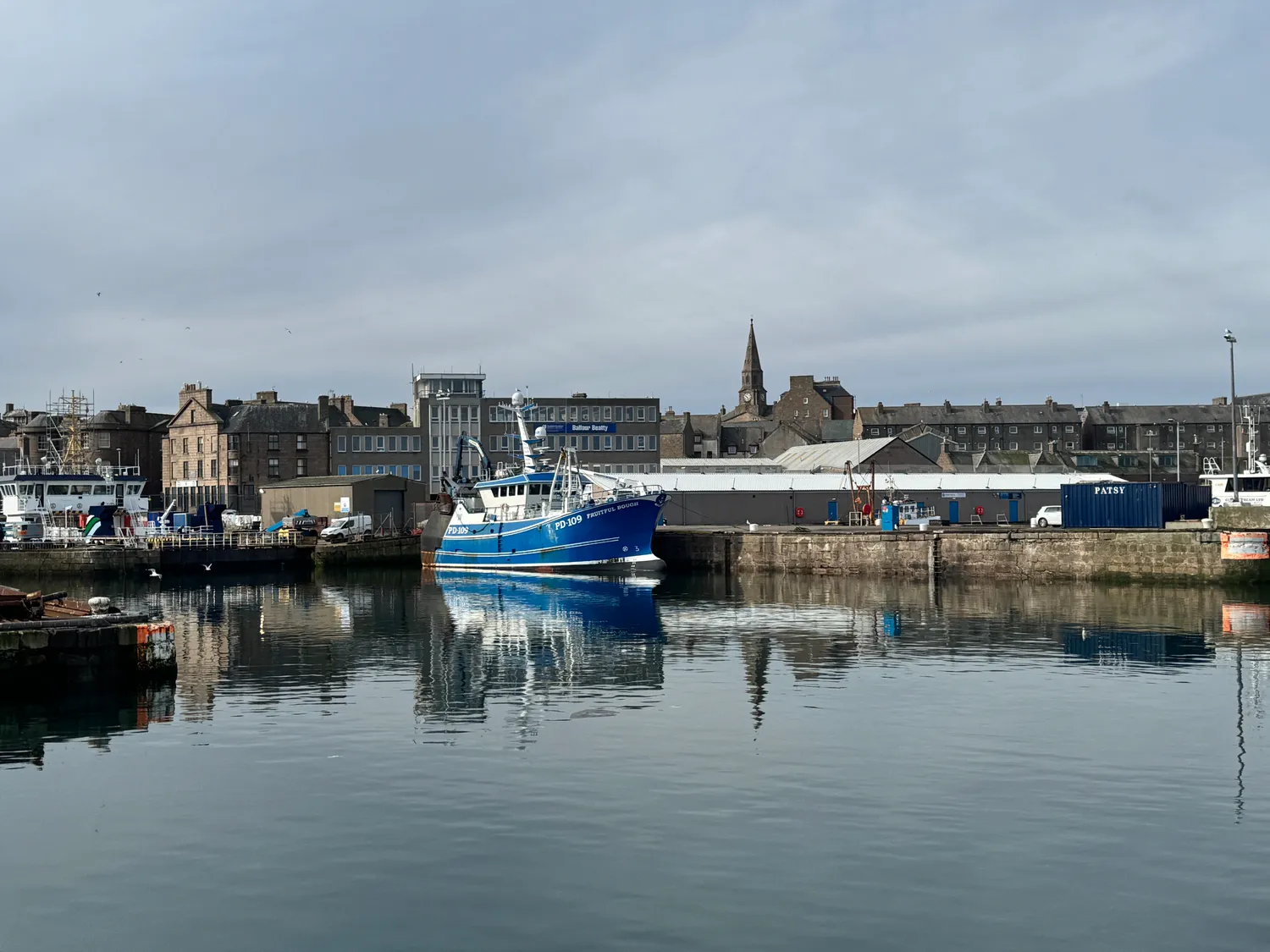
The harbour at Peterhead.
June 5, 2026 · Written by
Ann Elinor Aasen
Key takeaways
📒 Years of catch knowledge from diaries and logbooks, brought onto the map as catch history
🗺️ Historic hauls sit alongside vessel tracking, activity, weather and conditions — one picture for planning the next trip
🎣 Trials available to test Catchwise with your own catch data and areas
Built for skippers
Catchwise is built around the way skippers make decisions.
Historic catch data is viewed together with vessel tracking, fishing activity, weather and ocean conditions in the same platform. That gives the skipper a more complete picture when planning the next trip.
Instead of searching through years of diaries or switching between different tools, the skipper can use Catchwise to see:
- where previous hauls were made
- which grounds have performed well before
- how catch history relates to current conditions
- vessel activity and fishing patterns in relevant areas
- weather and ocean forecasts for specific fishing grounds

Catch history and expected performance for a saved area in Catchwise.
By importing historic catch data into Catchwise, skippers can see previous hauls directly in relation to their fishing grounds. This gives a clearer overview of where the vessel has caught well before, how different areas have performed over time, and which grounds may be worth looking at again.
Try Catchwise with your own catch history
Catchwise is offering trials for skippers who want to test the platform with their own fishing data and areas.
Try Catchwise
Try Catchwise on your next trip! Click the button below to get started. No credit card required.
Get started